Dr. Porter-Morgan’s current research focuses on stormwater management and resilience. Extreme weather events have become more frequent across the United States in the past 20 years and heavy rainstorms are no exception. In fact, New York City experienced five ‘five-year’ storms just in the year of 2023. A five-year storm produces ≥1.75 inches of rainfall in one hour. These storms are becoming prevalent and can cause significant inland flooding.
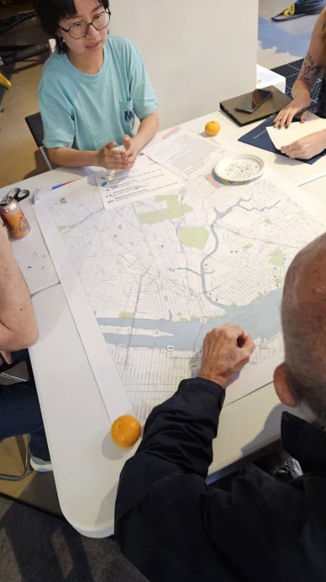
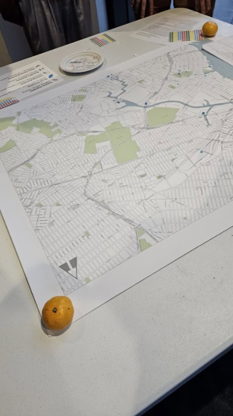
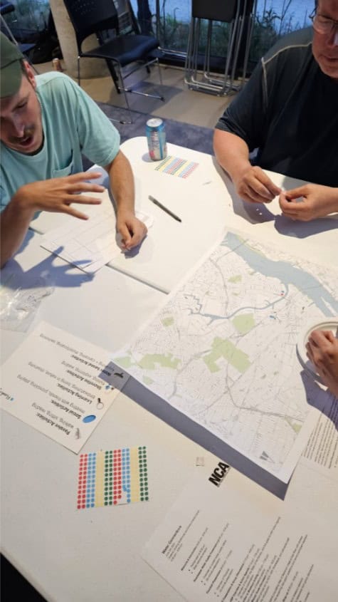
To provide localized data and inform future flood planning, Dr. Porter-Morgan in collaboration with the Newtown Creek Alliance is using participatory mapping techniques toidentify locations that experience chronic stormwater flooding. The mapping events and workshops are being held withthe contribution of community members local knowledge of neighborhood flooding.Community members place stickers on large-format paper maps to demarcate locations suffering from heavy flooding. Data from all mapping events will be compiled, entered into a digital geodatabase, ground-truthed, and shared with city agencies to assist in the identification of priority areas for stormwater flood relief. This approach uses cartography to document place-based knowledge and capture spatial data that may not be identified with other methods, such as modeling.