Spotlight: Faculty Research
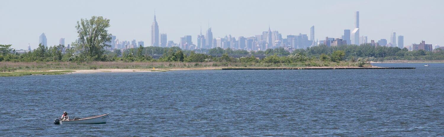
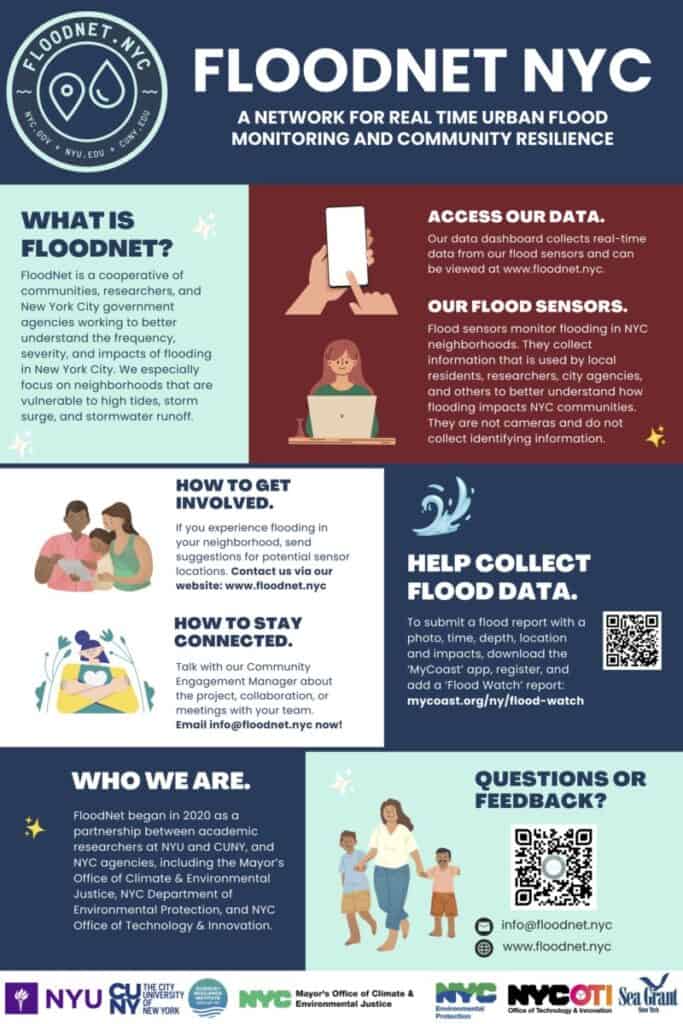
Holly Porter-Morgan: Neighborhood Flood Mapping Initiative Dr. Porter-Morgan’s current research focuses on stormwater management and resilience. Extreme weather events have become more frequent across the

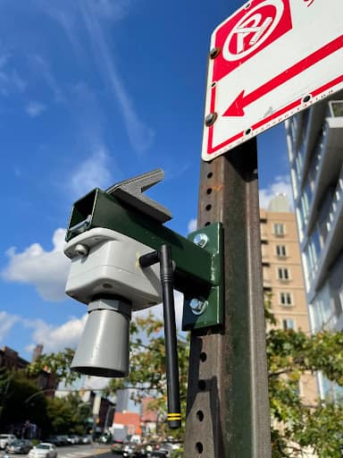
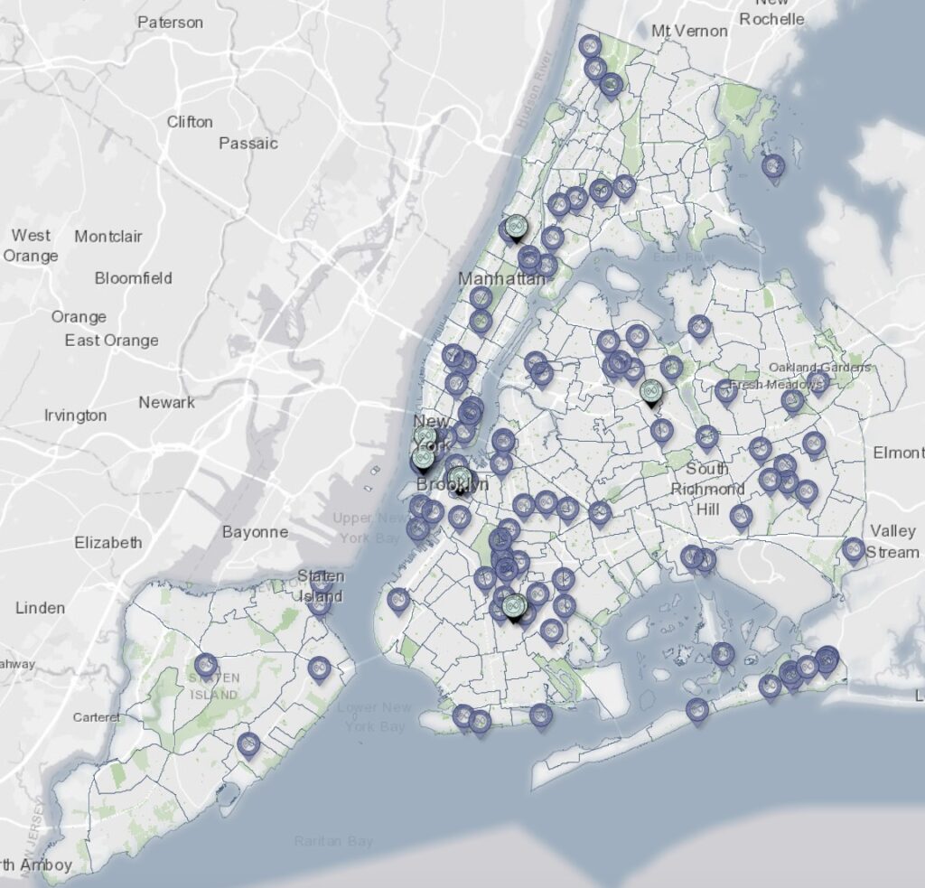
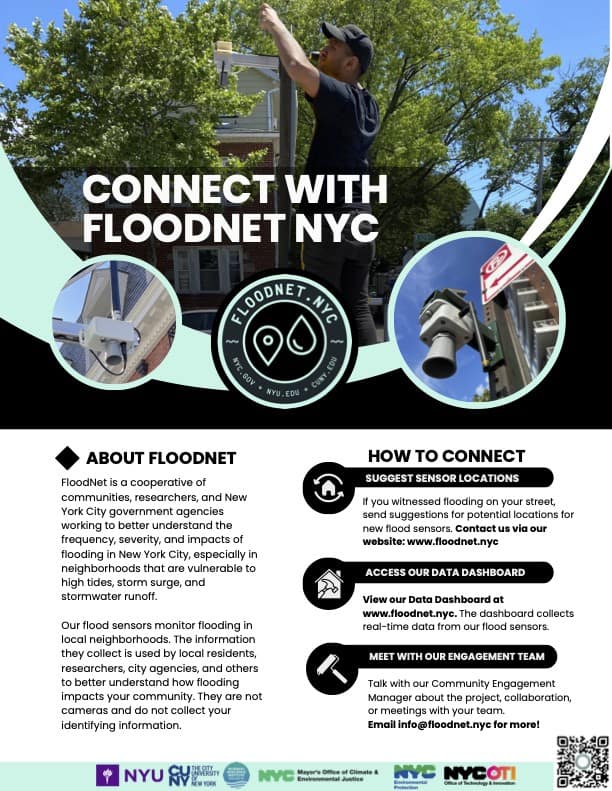
SRIJB Team Co-Publishes Paper on FloodNet Project
A team representing the Science and Resilience Institute at Jamaica Bay (SRIJB), the CUNY Advanced Science Research Center, New York University, the New York City

SRIJB adds PhD student Georgie Efegenia Humphries to the team
The Science and Resilience Institute at Jamaica Bay is expanding again to meet the growing challenges the estuary faces in a changing climate. SRIJB would

SRIJB Welcomes Polly Pierone & Véronëque Ignace
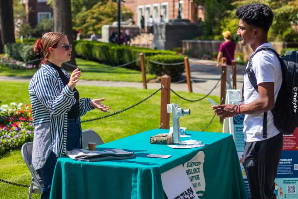
As NYC faces growing threats from sea level rise, the Science and Resilience Institute at Jamaica Bay is expanding its FloodNet team. FloodNet is a